 One of the treasures in the “Hanna Archives” is a scrap of paper on which Abe recorded crop yields from 1911 to 1938. Yields vary from the “bumper” crop of 35 bushels per acre in 1928 to the total crop failure of 1937 – 1/3 bushel per acre. It is a vivid illustration of the uncertainty of farming.
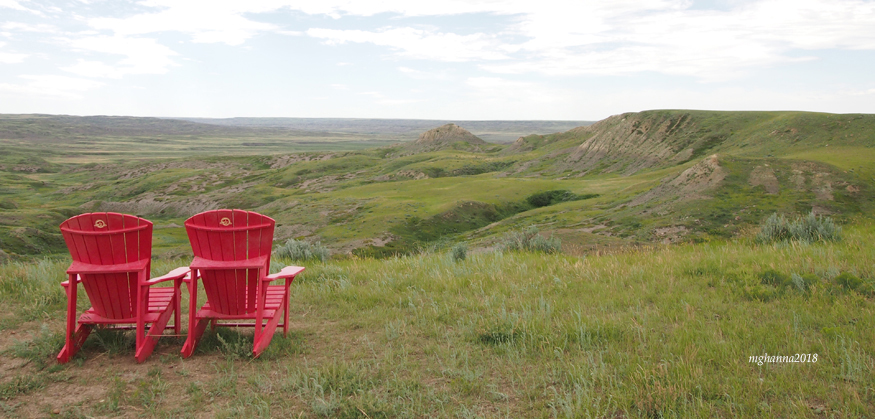
Abe had the misfortune of acquiring land in what is known in the Canadian prairies as the Palliser Triangle. It is a semi-arid, formerly mixed-grass area that encompasses southwestern Saskatchewan and southeastern Alberta, with its apex at approximately Lloydminster on the Saskatchewan-Alberta border. It is characterized by low precipitation – 300 mm or about 12 inches per year. About 70% falls as rain during spring to autumn, the remainder as snow in the winter. Spring and autumn rains are usually what are commonly called “general rains” – a two or three-day “soaker” that covers most of the area. Summer rains are localized, sporadic and occasionally violent thunderstorms that bring brief heavy rains, often combined with strong winds that can lodge (beat down) crops and hail that can destroy them. It is with good reason that, on the prairies, hail is called the Great White Combine.
The region gets its name from Capt. John Palliser, an Irishman commissioned in 1857 by the British Government to explore the western regions of Rupert’s Land of British North America. Its purpose was to determine whether or not the western regions were suitable for settlement and how the region could be linked to both the British Province of Canada (Ontario and Quebec) to the east and the Pacific Ocean to the west. The expedition lasted three years. In 1863, Palliser presented his report to the British House of Commons, which appears to have been so overwhelmed by its size and comprehensiveness that it met the fate of so many such commissioned reports – it was shelved and all but forgotten.
As fate would have it, the Palliser expedition explored the southern prairies during a dry period. He concluded that the region was unfit for agriculture and better suited to livestock. At the same time, another expedition under the leadership of Henry Youle Hind, also explored what is now southern Manitoba and Saskatchewan, although Hind traveled primarily through the parkland region bordering the northern edge of the mixed-grass prairies. Hind reached much the same conclusion – the mixed-grass prairie was unsuitable for agriculture.
A decade later, the political situation had changed. The British North American Act of 1867 united four British colonies – Ontario, Quebec, New Brunswick and Nova Scotia – to form the Dominion of Canada. Two years later, the Canadian government purchased Rupert’s Land (all the territory that drains into Hudson Bay) from the Hudson’s Bay Company. In 1870, the Red River Resistance under Louis Riel brought the Province of Manitoba into Confederation. And in 1871, Prime Minister Sir John A. Macdonald lured the colony of British Columbia into Confederation with the promise of a railroad.
Macdonald was growing increasingly uneasy about American expansionist efforts in the west. He saw the railroad as a means of encouraging British settlement on what he thought of as unoccupied prairie lands – never mind that indigenous people were already living there – thereby ensuring Canadian sovereignty over the territory.
The original route went through the parkland that bordered the north edge of the Palliser Triangle. However, Sir Sanford Fleming, the chief engineer of the Canadian Pacific Railway, wanted an alternate opinion. In 1872, he commissioned John Macoun, a botanist, to provide his assessment of the mixed grass region.
The 1870s happened to be a relatively wet period. Unlike Palliser and Hind, Macoun saw a lush, bountiful land perfect for agriculture. Both Fleming and Macdonald were pleased with this assessment for two reasons. First, it was a more direct route to the west coast and, thus, less expensive to build. Second, the railroad would facilitate settlement that would establish Canadian sovereignty.

So, who was right? Palliser and Hind? or Macoun? As usual, the truth lies somewhere in between. Given good soil, rains at the proper time, sufficient (but not excessive) sunshine and heat, and a long-enough frost-free growing season, farmers in the Palliser Triangle can, and do, produce bountiful harvests. But, as Abe and other farmers learned, they can not always depend on the weather.
The Dirty Thirties hammered that lesson home, with a vengeance.
Next time: The Human Factor in creating the Dirty Thirties
#PalliserTriangle #PrairieHistory #MeyronneSaskatchewan #MargaretGHanna #OurBullsLooseInTown #PrairieGeography

Very interesting….thanks, Margaret. Ada
Sent from my iPad
>
LikeLike
A little of our Canadian history that a lot of people have no idea about. Thank you for sharing with us Margaret.
LikeLike